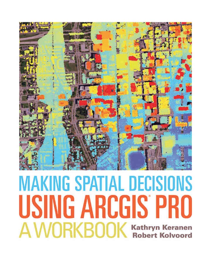
Making Spatial Decisions Using ArcGIS Pro: A Workbook, 1st Edition
$39.99
“How can we protect…?” “Where do we allocate…?” “What’s the extent and pattern of…?” You have questions in a spatial context; Making Spatial Decisions Using ArcGIS Pro has answers based in The Science of Where™. Making Spatial Decisions Using ArcGIS Pro is a textbook that provides the user with a broad overview of the capabilities of using ArcGIS Pro to use geospatial tools to solve real-world problems. This book takes full advantage of the integrative nature of ArcGIS Pro and its advanced capabilities to seamlessly unite cloud-based and desktop GIS. The lessons included in this book have been adapted and updated from lessons from Keranen and Kolvoord’s popular first three Esri Press books: Making Spatial Decisions Using GIS, Making Spatial Decisions Using GIS and Remote Sensing, and Making Spatial Decisions Using GIS and Lidar. Note: This e-book requires ArcGIS software. You can download the ArcGIS Trial at http://www.esri.com/arcgis/trial, contact your school or business Esri Site License Administrator, or purchase a student or individual license through the Esri Store.Making Spatial Decisions Using ArcGIS Pro: A Workbook 1st Edition is written by Kathryn Keranen; Robert Kolvoord and published by Environmental Systems Research. ISBNs for Making Spatial Decisions Using ArcGIS Pro are 9781589484856, 1589484851 and the print ISBNs are 9781589484849, 1589484843.
Be the first to review “Making Spatial Decisions Using ArcGIS Pro: A Workbook, 1st Edition”
Related products

Best Seller zetlly pro
Elite Minds: How Winners Think Differently to Create a Competitive Edge and Maximize Success

Best Seller zetlly pro
Designing, Building, and Testing Your Own Speaker System with Projects
Best Seller zetlly pro

Best Seller zetlly pro

Best Seller zetlly pro

Best Seller zetlly pro

Best Seller zetlly pro

Best Seller zetlly pro
Reviews
There are no reviews yet.